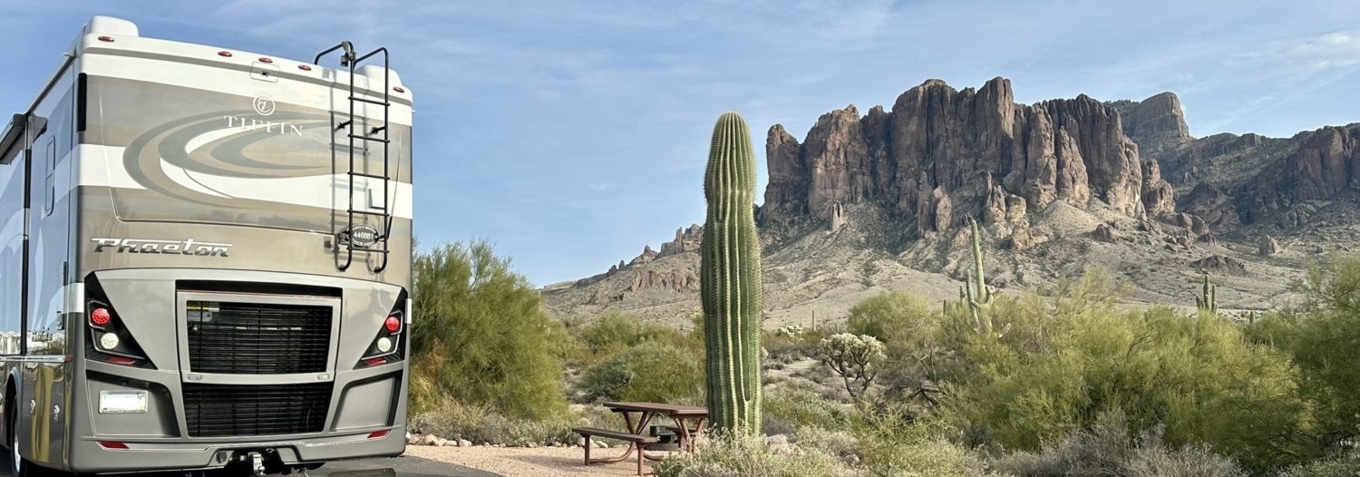
Living in the Arizona desert in the Valley of the Sun, many of our trips involve a good climb.

There is something about the climb out of the heat. There is excitement about reaching Flagstaff and getting to roll the windows down! We didn’t bring Old Yellow with us to Arizona when we moved from California because it didn’t have a generator and there was no way we could traverse the desert in the summer with only dash air. So, the first couple of years we “hotel camped” when we went to Lake Powell. The rear view mirror on my Suburban showed the temperature and our boys would excitedly alert us every time we dropped to a new number (100 down to 90 down to 80, etc). None of our RV’s have that feature but with technology, it’s just a quick look at a weather app to watch the temperature drop.

The landscape is something to behold. The somewhat flat, bushy desert gives way to Creosote bushes which then give way to prickly pear and saguaro cactus. The saguaro is really a majestic creature. Did you know they don’t grow their first arm until about 75 years old? Most of the larger saguaro are older than our country! If you have little ones, I highly recommend the book The Cactus Hotel by Brenda Z. Guiberson to learn more about Arizona’s most recognizable plant. It’s a great little story of the life of a saguaro, from the seeds growing in the shadow of a Palo Verde tree to it’s death laying on the desert floor showcasing all the animals that call it home. Continuing north, the cactus gives way to scrub brush then to oak and pine trees. Oh, the smell of pine trees, especially after a rain. I just love the forest after it rains.
There are lots of ways to leave the valley. Most of our travels to higher elevation and cooler weather involve three routes. North up I-17, northeast up highway 87 also known as the Beeline Highway, and through Globe on highway 60 through the Salt River Canyon.
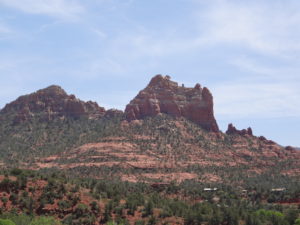
The drive up I-17 is a stead climb seeing the foliage I described earlier. It’s pretty much a cactus view until you get to Sunset Point. Every year at Christmas, someone decorates a large scrub brush tree. It’s done overnight; nobody knows who’s doing it and they’ve never been caught in their festive act. We noticed it on our very first trip up I-17 right after we moved here and we’ve looked for it ever since. It’s in the grassy median between the north and southbound lanes and even after all these years, I’ve never managed to get a good picture of it so it remains a photo in my mind. I-17 also leads to Exit 298, Highway 179 to Sedona. Seriously it’s one of the prettiest places around. Burnt red rocks greet you around many of the bends in the road. Have your camera ready. After you pass the Sedona exit you’ll begin your final climb into Flagstaff, or Flag as it’s known locally. Humphrey’s Peak, the tallest mountain at 12,633 elevation, is clearly visible as you drive, beckoning you to cooler weather. In the summer you can see the storms forming and bright white snow covered peaks welcome you in the winter.
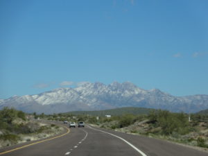
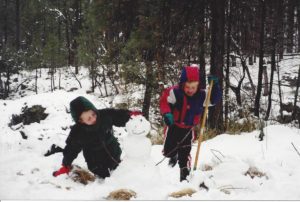
Leaving the valley towards the northeast takes you up highway 87, the Beeline Highway. Once you pass Shea Blvd and the Fort McDowell Casino, much of the land is open for recreational use. Four Peaks mountain is off to your right and we like to take our dirt bikes and RZR up there. It’s a maintained dirt road and you’ll find people camping in spots along the way. At the top are some nice hiking trails. It’s a fun time on trial with lunch and plenty of water. The Beeline was largely a two-lane road after Four Peaks when we moved here. We liked to explore in and around the Payson area and got to watch a lot of the construction widening it to the four-lane divided highway it is today. I still look at the massive bridges and remember my boys, so little in the backseat excited for our day playing in the snow. There are times they will always be 3 and 5.
By far the most adventurous way to get up to the high country is Route 60 through Globe-Miami and the Salt River Canyon. Globe is a fun little mining town that was founded in 1875. As you continue north you enter the Salt River Canyon. The Salt River has been dammed four times to hold water for the state’s use. These lakes make for fun water recreation. We love our time on the water and are lucky to have five lakes close enough for a day trip. It’s a gradual climb when then you’ll encounter the beauty of the canyon. Slower is better as the drive has many turns; we did this drive for the first time in our Class C while towing our Jeep. I sure wish we’d done it in a car first as I might have enjoyed the RV version more. It is a beautiful drive with great views of the canyon at every turn. The passenger seat provided a nice view. Not all the turns have guardrails which wasn’t a problem for us as we were taking it nice and slow. Thankfully there was someone slow in front of us so we weren’t holding up traffic. You can see the road on the other side of the canyon and we were able to see the remnants of cars that didn’t take it slow. These cars had been there a while, their grey metal glinting in the sun. The drive takes you to the bottom of the canyon over the Salt River Bridge. In spring, water flows greatly depending on the snow pack and is a hot spot for white water rafting. Our first drive through was July 4th weekend, long after peak flow. The water was swill moving and you can raft well into the summer. The climb back up to the top of the canyon is a different kind of pretty. You’re closer to the mountains on the north side and can get a great view of the canyon crags jutting out with pine trees dotting the flat top. This route to the mountains takes you through Show Low, one of the largest town in the White Mountains. It’s a hub yet manages to still be a small town.

