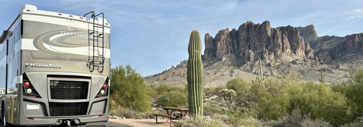
Breckenridge trails, here we come.
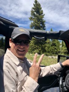
This trip had been on Mark’s radar for a while. We love spending time in Colorado both in the summer and winter. Our Jeep is a veteran of the Telluride/Ouray area but this would be our first time in Breckenridge. We love exploring in our Jeep and were excited for this new adventure.
 Our Bible, so to speak, for back country trails is the Guide to Colorado Back Roads & 4-Wheel-Drive Trails by Charles Wells and Matt Peterson. We recently bought the latest edition because our older one started falling apart at the seams, literally. This new edition is spiral bound so it should hold up better.
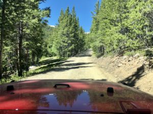
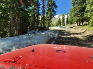
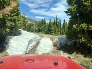 Our first ride was up through the ski resort to the top of Peak 10, or so we planned. The trail winds back and forth across ski runs until the resort boundary. Once outside the resort, there the road gets a little rougher, fun times in a Jeep, as it continues to climb. There was snow among the trees and still some on the trail. Ooh, we were going to 4-Wheel in the snow! Well, at least until we turned one last corner and the entire trail was covered in snow. There was a yellow Jeep with the doors wide open in the middle of the trail with nobody in sight. We parked off to the side and got out to investigate how deep the snow was. Bummer for us, the snow was deep enough to decide it was time to park and hike the rest of the way.
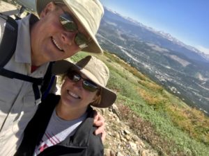
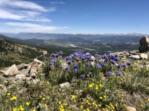

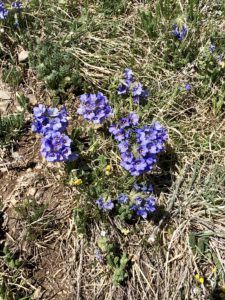
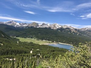
It was a pretty hike with great views of the town of Breckenridge. We made our own path until reaching our stopping point. We were above the treeline and the bright flowers caught my eye. They looked so delicate in the harsh and windy environment, what a dichotomy. Part of the fun of our hikes is seeing things we miss by whizzing by on the freeway.

We hiked back down to the Jeep and stopped at the Overlook at the top of the ski run. No doubt it’s a popular spot during ski season for lunch but on this day we had it all to ourselves. The deck was a great spot for our gourmet lunch of PB&J and Cheetos.
Off we went to the next trail earmarked in our book; Boreas Pass.
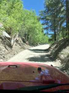
We hit the trail head just south of downtown Breckenridge. Boreas Pass was a stage coach route back in the mid 1800’s. It was converted to a railroad in the early 1880’s which was in operation until 1937. The trail was easy, like a forest service road for much of the way. It’s also a popular mountain biking route and we slowly rolled past many bikers on our way up. The aspen trees were showing off their summer beauty all along the trail. Their bright green leaves shimmering in the wind like shiny sequins. I love aspen trees, they are my favorite, and I sure wish they could grow in my hot desert front yard. We will be going back just to see them showing off their pretty yellow when the leaves change.
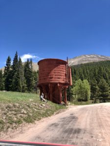
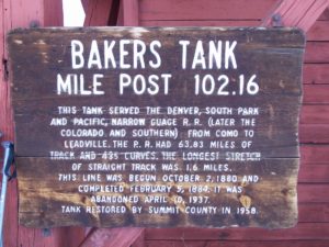
Besides my pretty aspen trees, you’ll pass Bakers Tank along the way. Bakers Tank is a window into the past when much of Colorado was being mined and the railway was frantically transporting the precious minerals. This giant water tank served the rail lines that crossed the pass. That’s the fun thing about trail riding around Colorado; the mining history is a highlight of almost every trail.
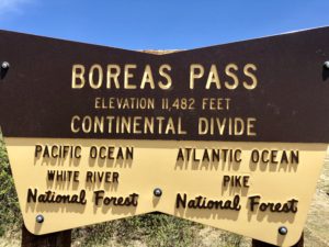
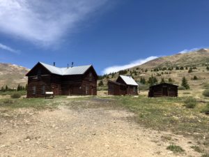
We were treated to just that at the top of the pass. The summit sits at 11,482 feet. It was a bright sunny day and with just a few thin clouds, we could see for miles. There are a few buildings at the top that were used in the early days of the railway and continue to be used today. They were originally built in 1881 as a lodging facility for people who maintained the pass section of the railway. They were restored in 1996 and are currently used as lodging for back-country skiers.
We continued east down the other side to Highway 285. From there we went north to the next trail that would take us back to Breckenridge.
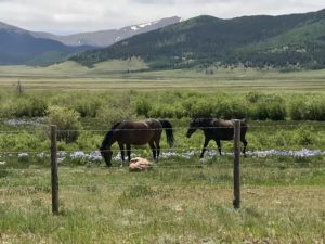

 Boy did we have an adventure driving up Georgia Pass. The lower part of the trail is a well maintained dirt road with ranches dotting the way. We were surprised to see a Moose sign. One sign even warned hunters to know what they were shooting at as Moose were active in the area. Seeing a moose would be super cool; my eyes were peeled looking for long and lanky legs. No luck on the moose search, we only saw birds, horses, squirrels and a man with a flat tire. Poor guy was in a rental truck so Mark helped him change the tire.

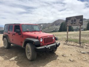
Onward and upward toward the top we went. The road narrowed and got a little rougher but not too bad. We crested the summit and stopped for a snack. He worked up a hunger with that tire change so a few cookies were in order. Me, I was starving from searching for moose! The summit at Georgia Pass is a tiny bit higher than Boreas Pass at 11,585 feet elevation. It, too, is part of the Continental Divide and crossing that is always exciting in our house. Our trusty trail guide book stated that the trail may be impassable in the spring because of a possible wet/snowy section at the top. Check. The summit area is a large and open so there were lots of ways to get started on the trail down. Starting down it was rutted and pretty muddy. We picked the driest one and started down but didn’t get too far. We ran into dirty, messy snow and decided to stop and check it out before proceeding. Mark came back shaking his head. We were alone, hadn’t seen anyone for a while so proceeding knowing we might get stuck wasn’t very smart. We turned around and went back the way we came. That is a trail we want to go back and complete.
We didn’t even scratch the surface of all the trails in the area. Our next trip will be longer so we have more time to explore the pretty back-country. After all, there are thousands of shimmering aspen trees I haven’t taken a picture of yet.
